

Document - Survey Plan – Accurately defining the legal and physical reality of the site
What is a Survey Plan and Why Do I Need One for My DA?
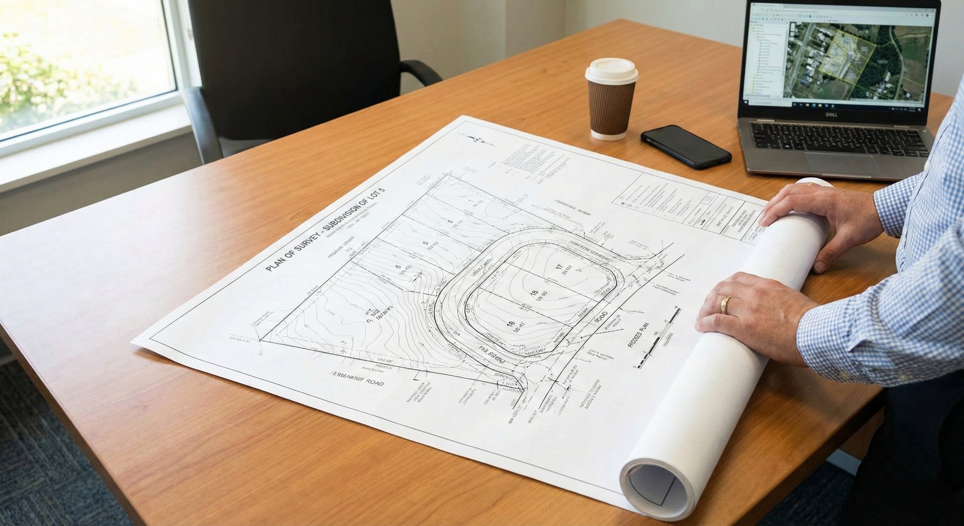
When you start a project, your architect will likely ask for a "Detail Survey" before they even pick up a pen. It is often the first external cost you will encounter.
Many homeowners wonder why this is necessary, especially if they already have old plans of the house. However, without a current, precise survey, your architect is effectively designing blind.
What is a Survey Plan?
In the context of architectural design, we are almost always referring to a Topographic or Detail Survey.
This is a precise, to-scale drawing prepared by a Registered Surveyor. Unlike a simple floor plan, which shows the inside of a house, a survey maps the physical reality of your land. It locates exactly where the land sits on the earth, how steep it is, and where everything is located relative to the boundaries.
Why do you need it for a DA/CC or CDC?
Accuracy is everything in the approval process.
- Council Requirements: Councils and Certifiers need to know exactly how high your new roof will be relative to natural ground level. They cannot assess this without verified ground levels (AHD).
- Design Accuracy: Your architect needs to know the exact slope of the land to design driveways that aren't too steep and drainage systems that actually work.
- Legal Boundaries: Fences are rarely on the exact boundary line. A survey confirms exactly where your property ends and the neighbour's begins, preventing legal disputes later.
What information is included in a Survey Plan?
A high-quality Detail Survey is packed with data. It typically includes:
- Boundaries & Easements: Derived from the Certificate of Title to define the legal edges of your land.
- Topography (Contours): Lines showing the slope of the land and exact heights (Australian Height Datum).
- Existing Structures: The location of the current house, garage, retaining walls, and driveways.
- Trees: The location, height, and canopy spread of significant trees (on your land and often the neighbour's).
- Services: Visible inspection points for sewer, water meters, power poles, and stormwater pits.
- Neighbouring Information: Crucial for design—it shows the location of your neighbours' windows and roof ridges to calculate overshadowing and privacy.
When is it required?
This is the very first step. You should commission a survey before the design phase begins. Your architect uses the digital file (DWG) from the surveyor as the "base layer" for their computer model. If you change the survey later, the whole design has to shift.
Common Pitfalls and Professional Advice
The most common mistake is ordering the wrong type of survey. Don't confuse an "Identification Survey" with a "Detail Survey." When you buy a house, you often get an Identification Survey. This only shows the boundaries and the house location. It does not show levels, trees, or contours. It is useless for architectural design. Ensure you specifically ask your surveyor for a "Detail and Level Survey."
How to obtain a Survey Plan
Surveys can only be prepared by a Registered Surveyor. While you can engage one directly, it is often better to let your architect brief the surveyor. We provide them with a specific "scope of works," ensuring they pick up critical details (like the ridge height of the neighbor’s house) that might otherwise be missed.
Build on a solid foundation.
A great design starts with accurate data. If you are ready to start your project and need help coordinating the necessary consultants, contact OAK Architecture and Design today.


